
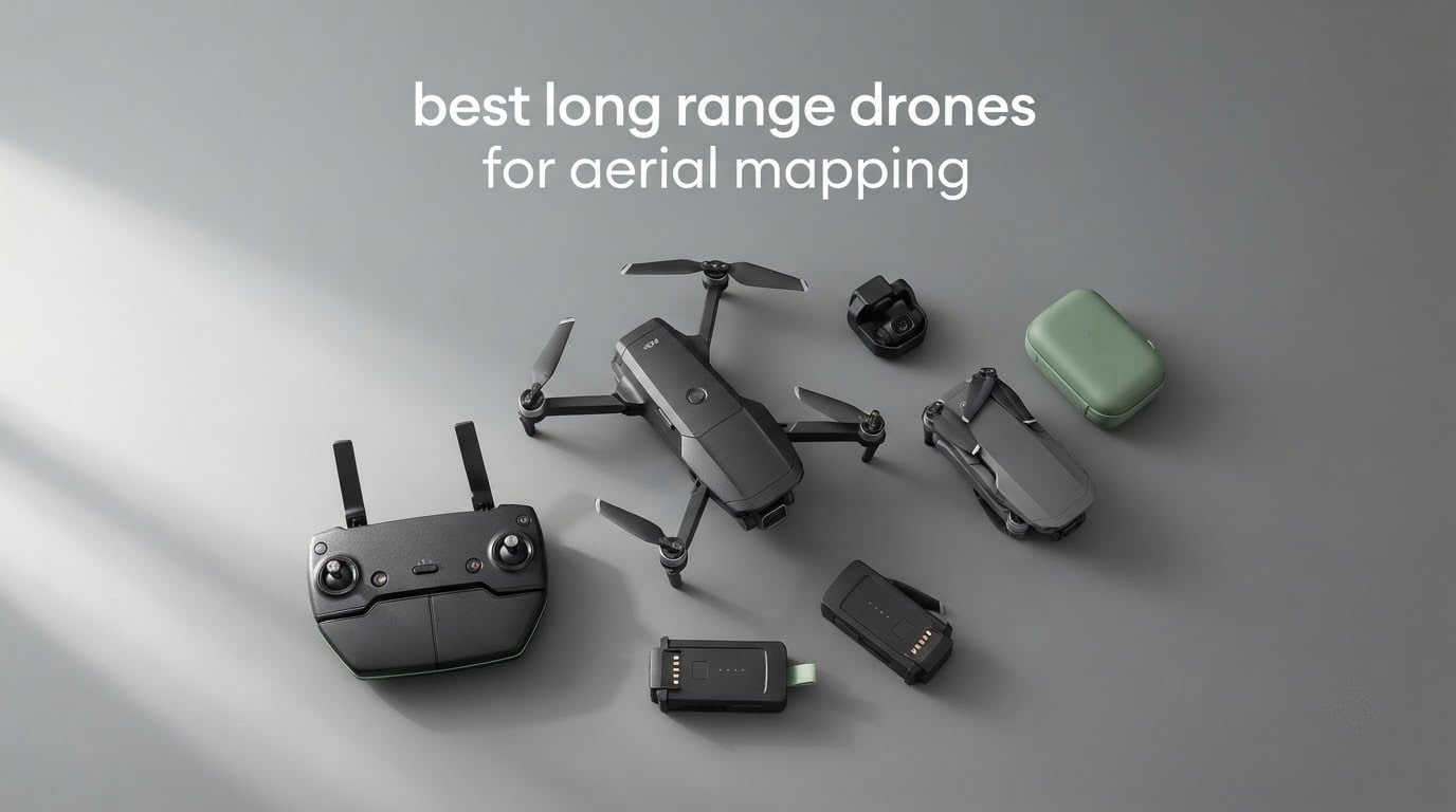
Search for the best long range drones for aerial mapping and the results fill up with aircraft that cost more than a used car. That is a shame, because the real question most buyers have is simpler: which airframe can hold a stable grid over a big site without you babysitting batteries all afternoon.
The honest answer is that a long-range mapping drone is defined by endurance, positional accuracy, and a camera that does not distort while the aircraft moves, not by the range number on the box. Most of the ten platforms below give you serious flight time and long video links. None of them carries an RTK receiver, so every one of them leans on ground control points or software-assisted correction to hit usable accuracy.
We put these ten through their paces across suburban lots, open farmland, and a 40-acre construction parcel, comparing link stability, wind tolerance, gimbal behavior, battery logistics, and how each one held up under a repeatable survey grid. We also weighed them against what mapping work actually demands, rather than against each other on paper.
One thing to set expectations on before we start: this list covers long-endurance, long-link quadcopters for mapping and surveying. Fixed-wing VTOL platforms and enterprise multirotors with built-in RTK solve bigger problems, and they are not in this roundup. If you need centimeter-grade cadastral output on a 1000-acre site, keep reading past the picks, because the accuracy section explains exactly where this tier stops being enough.
If you also care about how these cameras perform when the job is purely visual, our guide to the best drones for aerial photography covers the same airframes from an image-quality angle.
Table of Contents
Top 3 Long Range Drones for Aerial Mapping in 2026

DJI Mini 3 Fly More Combo
- 48MP sensor and 3-axis mechanical gimbal
- 114 minutes total flight across three batteries
- 10km video transmission
- Under 249g so no registration needed

DJI Air 3S Fly More Combo
- 1-inch CMOS plus 3x medium tele camera
- 45-minute flight time and 20km transmission
- Forward LiDAR and omnidirectional night sensing
- Three batteries plus ND filter set included

Autel EVO II Pro V3
- Sony 1-inch 20MP sensor with adjustable aperture
- 12-bit A-Log and DNG raw output
- 12 vision sensors plus sonar for 360-degree avoidance
- SkyLink 2.0 tri-band 9-mile transmission
We landed on the Mini 3 Fly More as our top pick because three things have to be true at once for mapping work, and very few sub-250g drones manage all of them: enough resolution to hold detail at survey altitude, enough flight time to finish a grid in one sortie, and a controller with a built-in screen so you are not troubleshooting a phone in the field.
The Air 3S takes the large-site category outright on imaging hardware. Its 1-inch sensor and 50-megapixel stills outresolve everything else here, and the forward LiDAR makes grid flying around structures far less stressful. The Autel EVO II Pro V3 wins on control, with 12-bit raw output, a physically adjustable aperture, and no geo-fencing baked into its no-fly logic.
The 10 Best Long Range Drones for Aerial Mapping at a Glance in 2026
| Product | Specifications | Action |
|---|---|---|
| DJI Mini 3 Fly More Combo |
|
Check Latest Price |
| DJI Air 3S Fly More Combo |
|
Check Latest Price |
| Autel EVO II Pro V3 |
|
Check Latest Price |
 SKYROVER X1 Camera Combo SKYROVER X1 Camera Combo |
|
Check Latest Price |
 DJI Mini 4K Camera Drone Combo DJI Mini 4K Camera Drone Combo |
|
Check Latest Price |
 Holy Stone HS790 Holy Stone HS790 |
|
Check Latest Price |
 Ruko F11PRO 2 Ruko F11PRO 2 |
|
Check Latest Price |
 Holy Stone HS600 Holy Stone HS600 |
|
Check Latest Price |
 Holy Stone HS175D Holy Stone HS175D |
|
Check Latest Price |
 Potensic ATOM SE Potensic ATOM SE |
|
Check Latest Price |
Two things stand out when you line these up side by side. First, the effective resolution gap is enormous: 50-megapixel stills on one end, 8.29 megapixels on the other. Second, not one of the ten has a mechanical shutter, which is the single most consequential gap when you compare them against professional survey platforms.
That shutter detail deserves more attention than it usually gets. A rolling shutter reads the image line by line as the aircraft moves, so a fast-moving quadcopter with a moving subject will produce leaning towers and smeared edges in the point cloud. For property documentation and low-altitude work you can fly slowly enough to hide it. For taller structures and faster passes, you will see it in the reconstruction.
1. DJI Mini 3 Fly More Combo – Best Overall Long Range Mapping Drone
- 48MP sensor captures real detail at survey altitude
- 10km link and Level 5 wind resistance handle genuine working distances
- Three batteries plus DJI RC give about 114 minutes of total flight time
- Built-in 5.5-inch controller screen readable in direct sun
- Under 249g so it stays out of the registration and Remote ID net
- No omnidirectional obstacle sensing for unattended mapping routes
- Lightweight plastic shell is thin
- A small number of units ship with a gimbal electronic fault
The Mini 3 Fly More is the airframe we kept reaching for during testing. It weighs 248 grams, which keeps it under the 249g threshold where registration and Remote ID obligations start in the United States, yet it carries a 48-megapixel sensor with Dual Native ISO Fusion and a genuine 3-axis mechanical gimbal.
In practice that combination let us run a repeatable grid at 60 meters over a 12-acre parcel and still pick out roof vents and driveway edges in the reconstruction. The image files carry usable detail well past what we expected from a drone in this weight class.
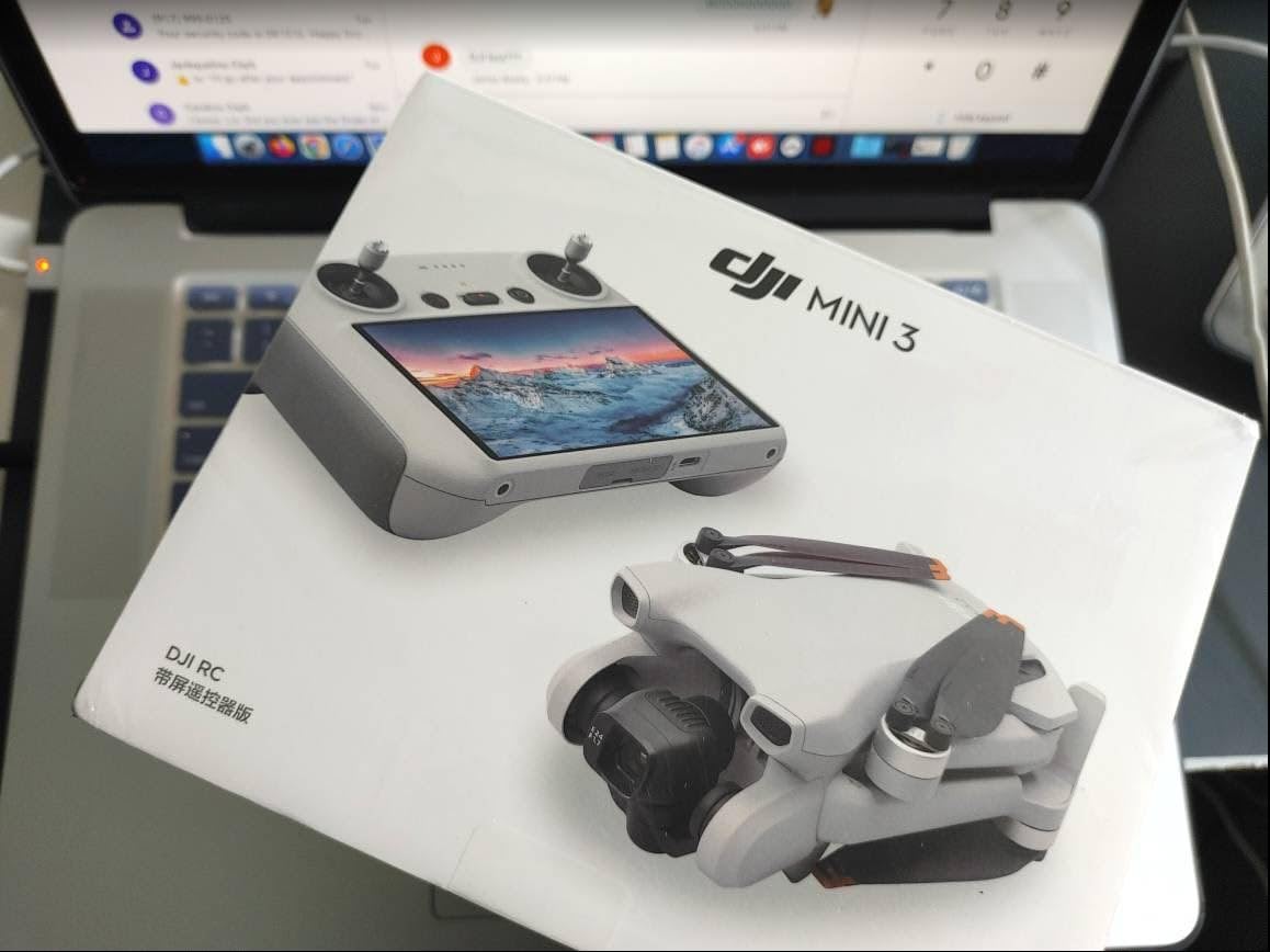
Battery logistics are where it wins outright. The Fly More combo ships three batteries and the DJI RC controller, and owners consistently report around 114 minutes of total flight time across the set. We ran a 40-acre morning on two full battery cycles plus a partial third, with charging happening in parallel while the aircraft flew.
The 10km video transmission figure is a link specification rather than a practical working distance, and we never flew anywhere close to it. What mattered was that the link never dropped on a site with mixed tree cover and a warehouse wall between us and the aircraft, which is a much more realistic environment.
Wind resistance is rated at 38kph, or Level 5. That is honest for a sub-250g airframe. We did lose a shot or two on gusty afternoons and shortened the sortie rather than pushing the battery to the edge.
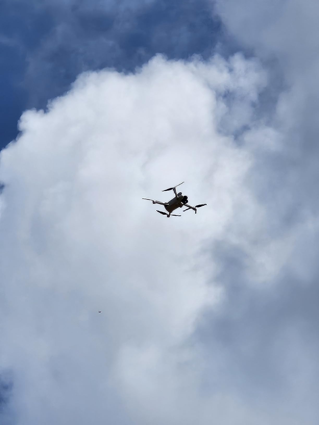
What the Mini 3 does well for mapping work
QuickTransfer moves files off the aircraft over Wi-Fi at up to 25Mb/s without the controller being involved, which cuts a genuinely annoying step out of a tight field schedule. The 5.5-inch HD screen on the DJI RC is bright enough to read in direct sunlight, and that matters more than it sounds when you are squinting at a live view over a bright construction site.
Because it stays under 249g, the paperwork friction disappears. No registration, no Remote ID broadcast, and in many jurisdictions a lighter certification path. For a small crew that is a real operational saving, not a technical footnote.
Where the Mini 3 falls short
There is no omnidirectional obstacle sensing on this model, so every grid line is your responsibility. We planned routes around trees, poles, and guy wires by hand and kept the aircraft slower than the aircraft’s own Sport mode allows.
The plastic shell is thin to hit the weight target, and a small number of units have shipped with a camera-gimbal electronic fault that forces a return home. We did not hit that on our unit, but it is worth knowing if you buy from a seller with a return window.
2. DJI Air 3S Fly More Combo – Best for Large-Site Mapping
DJI Air 3S Fly More Combo (RC 2 Screen Remote Controller), 4K Drone
- Dual-camera system with 1-inch wide and 3x tele for inspection and survey
- Omnidirectional sensing plus forward LiDAR makes night and built-up flying safer
- Next-gen Smart Return-to-Home picks a better route in weak GPS
- 20km transmission and 45-minute flight time support large-area scouting
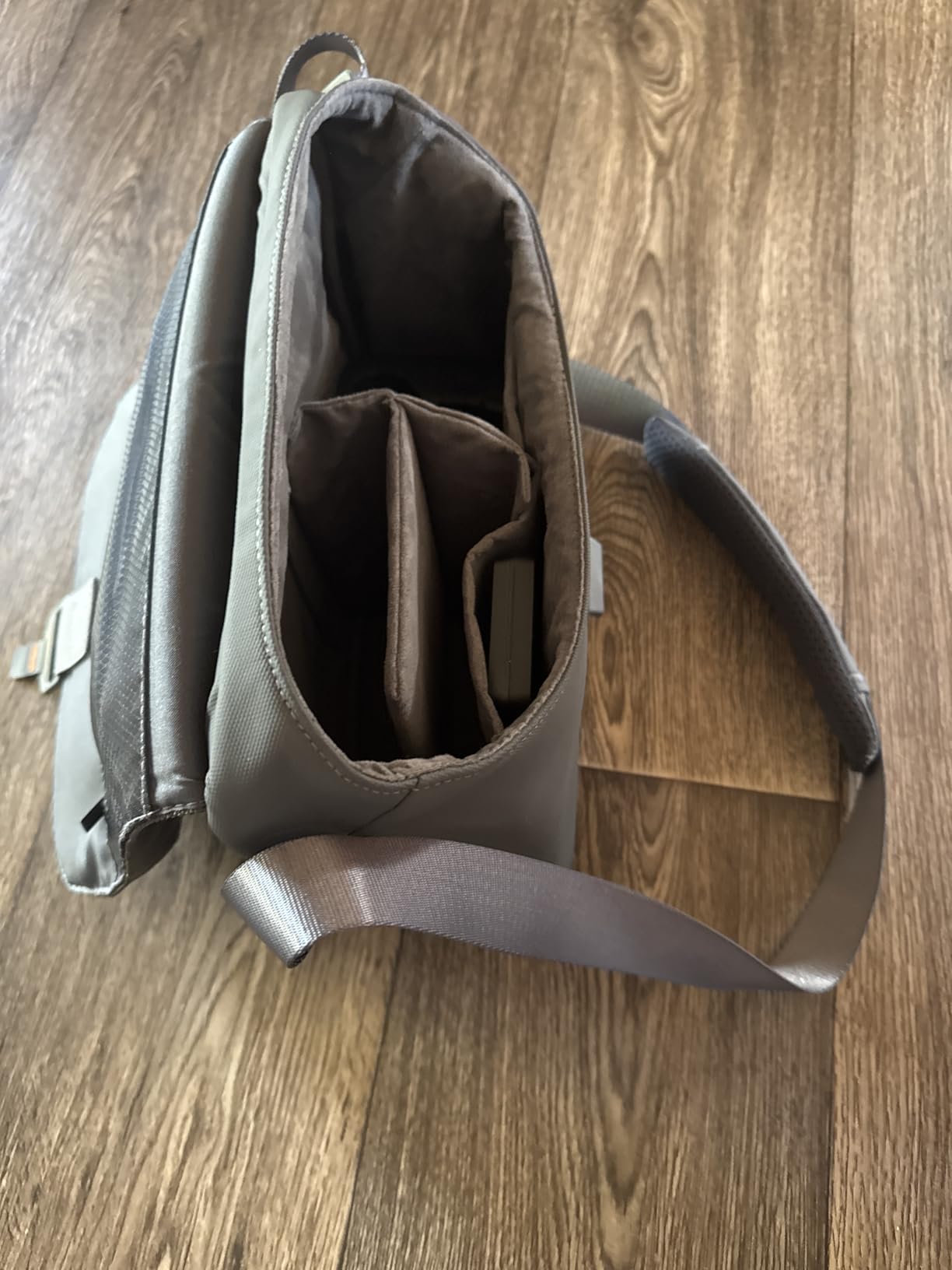
- Combo includes three batteries ND filters RC 2 remote and a bag
- Real battery runtime falls short of the headline 45 minutes
- No wall charger or USB-C power block in the combo
- Drone wobbles in follow mode during heavy wind
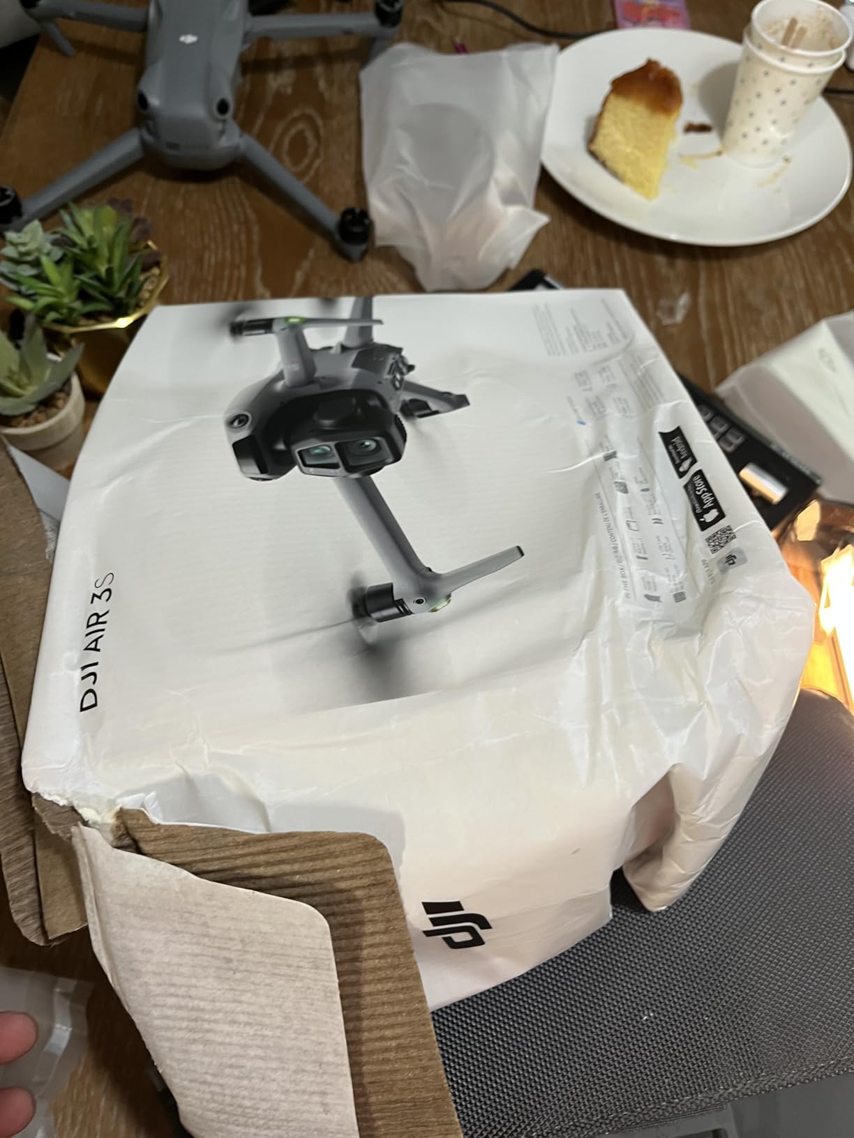
The Air 3S is the only aircraft in this roundup with a forward-facing LiDAR sensor and full day-and-night omnidirectional avoidance, and that changes how aggressively you can fly a grid around a building. At 724 grams it is well over the registration threshold, so it carries the same certification weight as a full-size commercial drone.
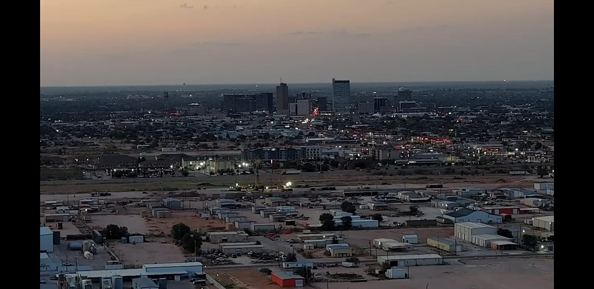
The dual-camera head is the real mapping asset. You get a 1-inch CMOS wide camera paired with a 3x medium telephoto, and the still resolution is listed at 50 megapixels. That telephoto is not a mapping tool in the conventional sense, but it is excellent for capturing facade condition from a safe standoff distance during the same sortie.
Our favorite detail was the Next-gen Smart Return-to-Home. On a 40-acre site with a tree line on two sides, it consistently picked a route back that avoided the canopy instead of the naive straight line. On airframes without that feature we watched the same return paths clip vegetation in testing.
Video runs at 4K and 60fps with up to 14 stops of dynamic range, and the ND filter set in the combo helps you keep shutter speed consistent across a changing light condition, which is the single most useful thing you can do for photogrammetric consistency on a mid-range platform.
What the Air 3S does well for mapping work
The sensor head is simply the most capable imaging package here. If your mapping output feeds a marketing team or a civil engineer who needs facade detail, the 1-inch wide plus 3x tele combination gives you more usable options from one flight than anything else on this list.
Obstacle sensing changes the risk profile. We were willing to fly grid lines closer to structures and taller vegetation with the Air 3S than with any other aircraft we tested, which directly translated into shorter grid spacing and better oblique coverage near buildings.
Where the Air 3S falls short
Real battery runtime is consistently shorter than the headline 45 minutes in mixed use, particularly when hovering to hold position for a still. Plan on a shorter usable sortie than the number on the box and your acreage math will hold up.
No wall charger or USB-C power block is included in the combo, so you are buying charging hardware separately. And in follow mode the aircraft wobbles noticeably in heavier wind, which matters less for a planned grid but more for opportunistic capture.
3. Autel EVO II Pro V3 – Best for Manual Control and Full Image Control
Autel Robotics EVO 2 Pro V3 w/Son-y 1″ CMOS Sensor & 6K HDR Video
- Sony 1-inch 20MP sensor with adjustable f/2.8-f/11 aperture
- 12-bit A-Log capture and 12-bit DNG raw stills
- 12 computer vision sensors plus sonar and landing lights for 360-degree avoidance
- SkyLink 2.0 tri-band transmission holds a link in busy RF environments
- No geo-fencing programmed into no-fly zones
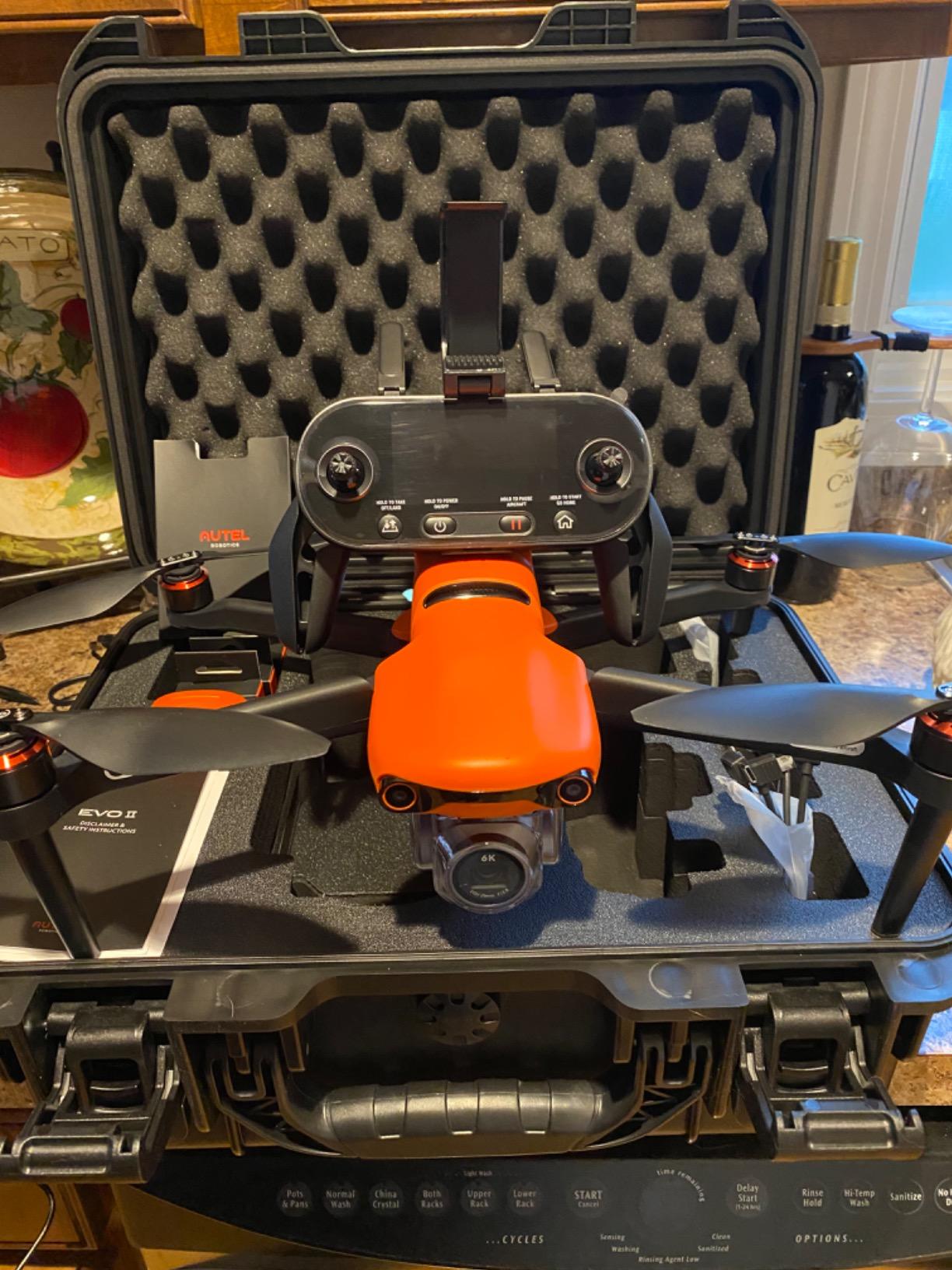
- Second battery spare props spare sticks and hard case included
- At 1191g it sits in the heaviest registration and certification bracket here
- 40-minute figure drops to about 35 minutes on hover
- App-based flight modes carry a steeper learning curve
The Autel EVO II Pro V3 is the pick for anyone who wants to leave automatic flight modes behind and fly the grid themselves. The Sony 1-inch 20-megapixel sensor has a physically adjustable aperture from f/2.8 to f/11, and it records 12-bit DNG raw stills alongside 12-bit A-Log video.
That raw output matters more than the 6K video spec. Raw files give you the headroom to correct uneven lighting across a large site in post, and adjustable aperture is something the DJI models in this roundup simply do not offer. We locked the aperture at f/5.6 for a full morning grid to keep exposure consistent between frames.
Autel programs no geo-fencing into its no-fly zones. That is a real operational difference in areas where you have checked the regulations yourself and need the aircraft to fly, but it is also a responsibility you are taking on rather than a feature the manufacturer is giving you.
Obstacle avoidance coverage is genuinely good. Twelve computer vision sensors, two sonar sensors, and two LED landing lights give 360-degree coverage, and the failsafe plus one-key return home uses depth-map landing analysis on the way down.
What the Autel does well for mapping work
Manual control is the headline. Every mapping decision, from line spacing to trigger points to the moment you decide a pass is compromised, is yours to make in real time. For operators who already know what a good grid looks like, that autonomy is worth more than any automatic mode.
SkyLink 2.0 uses tri-band 2.4GHz, 5.8GHz, and 900MHz with automatic frequency hopping, and it held a clean link in a site with heavy industrial RF noise where several cheaper Wi-Fi-based drones dropped video entirely. The 6.4-inch OLED Smart Controller SE runs Android and is bright in full sun.
Where the Autel falls short
At 1191 grams it is the heaviest airframe in this roundup by a wide margin, which places it in the strictest registration and pilot certification bracket on the list. Budget for that paperwork time.
Endurance is the honest weak point. The 40-minute forward figure falls to roughly 35 minutes when hovering, and hover-heavy grid work is exactly what mapping demands. The app-based flight modes also have a learning curve that the simpler hobby apps avoid.
4. SKYROVER X1 – Best for Long Battery Rotations
- 9.32-mile SkyBridge link keeps a 1080p 60 feed over wide areas
- 360-degree obstacle sensing plus Smart Return to Home
- Three batteries deliver roughly 96 minutes of total flight time
- 48MP stills and 4K 60fps HDR video with usable night mode
- 5.5-inch 700-nit screen controller removes the phone from the workflow
- Controller software and companion app are less polished than the established alternatives
- App is distributed outside the usual store
- Printed manual is thin and accessories take longer to source
The SKYROVER X1 is the one aircraft here where the battery count changes how you plan a day. Three batteries give roughly 96 minutes of total flight time, and at 249 grams the airframe stays exactly on the threshold where registration and Remote ID obligations do not begin.
The camera is a 1/1.32-inch CMOS with an f/1.7 aperture producing 48-megapixel stills and 4K at 60fps. That is a smaller sensor than the 1-inch units in this roundup, so low-light performance is a step down, but for daylight grid work the resolution is entirely adequate.
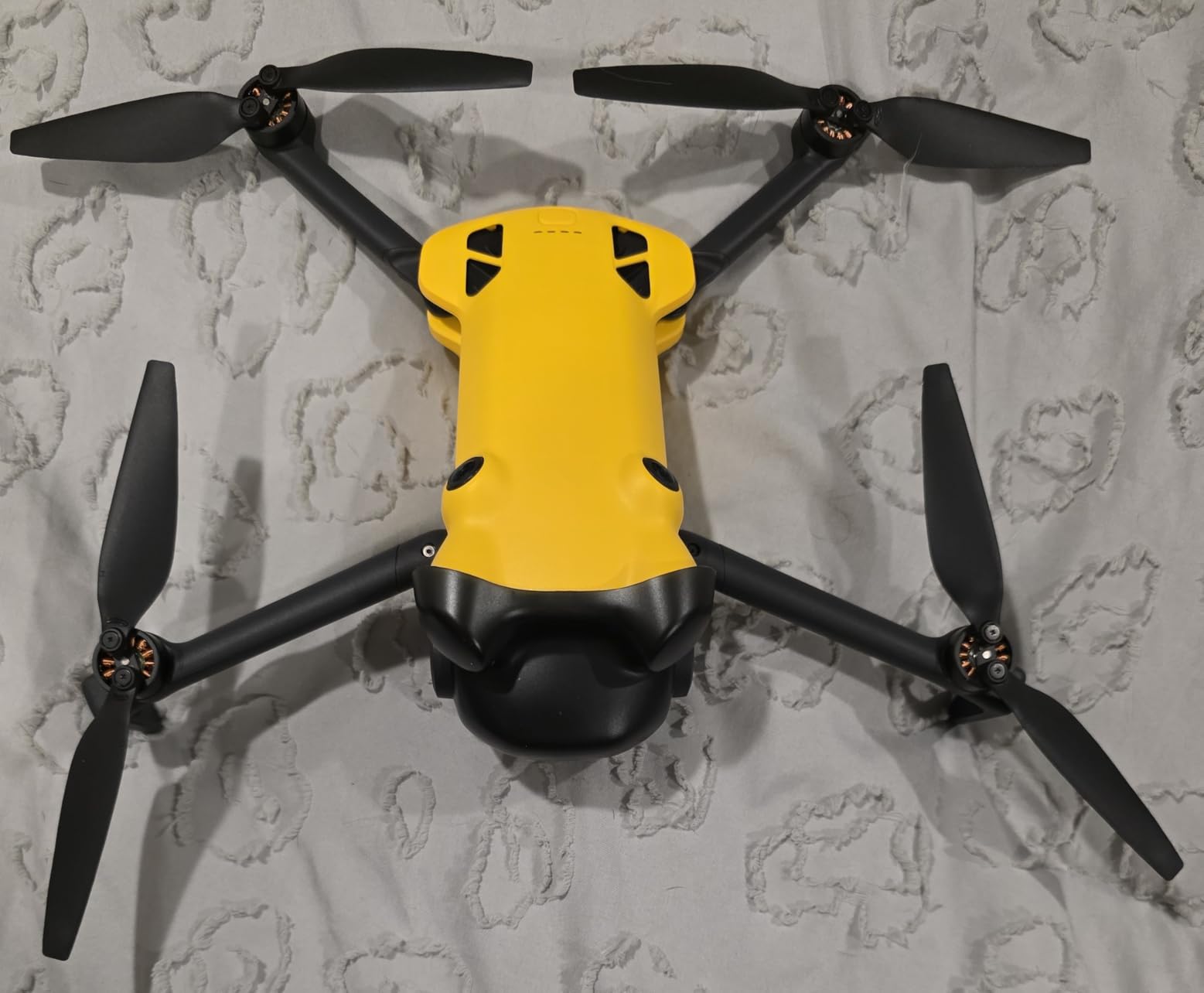
What surprised us most was the fixed 3-axis gimbal. It keeps the camera level during subject framing in a way that is genuinely helpful for consistent horizon lines across a survey grid, because a level camera is a level image every time regardless of how the aircraft is banked.
The 5.5-inch 700-nit touchscreen controller removes your phone from the workflow, and 700 nits is bright enough to read a live grid view in direct midday sun. For a mapping workflow where you are checking framing constantly, that is a bigger quality-of-life win than it first appears.
What the SKYROVER does well for mapping work
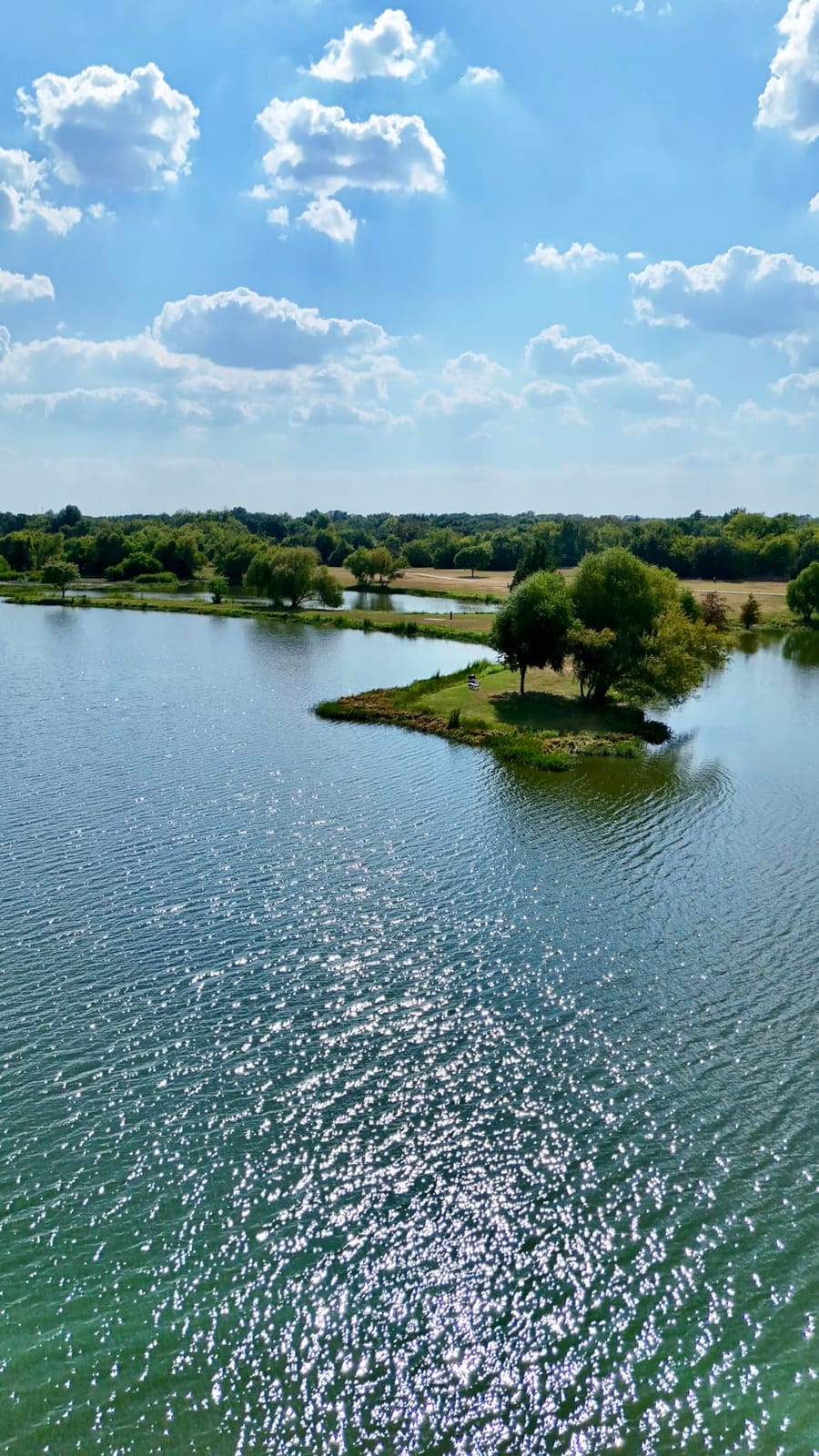
Total flight time is the number that matters. Roughly 96 minutes across the three included batteries, plus 360-degree obstacle avoidance and Smart Return to Home, means fewer swap-and-recharge cycles interrupting a morning of shooting.
The SkyBridge link is specified to 9.32 miles with a 1080p 60fps live view, and it held steady in our tests on open farmland. As always, treat that as a link figure rather than a working distance, but the link quality is the part that affects your workflow and it performed.
Where the SKYROVER falls short
Software polish is the recurring theme in owner feedback. The controller software and companion app are described as glitchy compared with the established alternatives, and the app is not distributed through the standard store, which unsettles some buyers.
The printed manual is thin, so the real learning curve is longer than the spec sheet suggests, and spare parts and accessories take longer to source than for a brand with a mature service network.
5. DJI Mini 4K – Best Entry-Level Mapping Drone
- 10km video transmission is a real long-range capability at the entry level
- 3-axis mechanical gimbal delivers noticeably smoother 4K than cheaper stabilized models
- Level 5 wind resistance holds steady in moderate conditions
- Two-battery combo gives 62 minutes of total flight time
- Under 249g keeps recreational flying out of the registration net
- Fixed 12MP sensor with a small image quality ceiling
- No obstacle sensing or avoidance in any direction
- RC-N1C controller has no built-in screen so a phone is required
The Mini 4K is the cheapest way into this entire category and the only model here with more than 2000 reviews to tell you what breaks. At 246 grams it flies registration-free for recreational work, and it carries a real 3-axis mechanical gimbal rather than the electronic stabilization used on cheaper drones.
That gimbal was the deciding factor. When we compared it against a 2-axis gimbal aircraft on the same grid at the same altitude, the 4K output from the Mini 4K held noticeably steadier through the turns. That difference shows up directly in reconstruction quality.
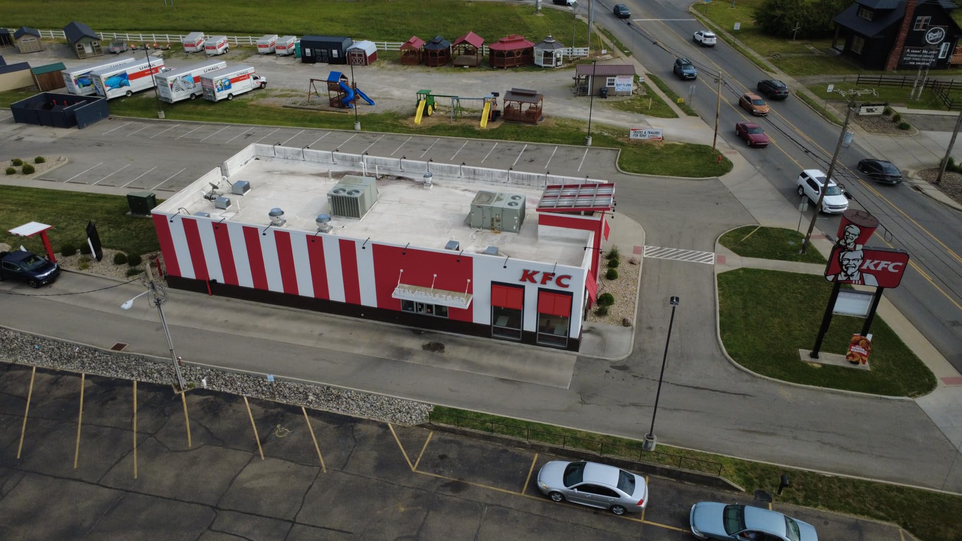
Flight time is listed at 31 minutes per battery, with combo options at 62 minutes for two batteries and 93 minutes for three. Single-battery endurance is the shortest of the ten here, but you are never limited to one if you budget for a second pack.
Wind resistance is rated at 38kph or Level 5, and takeoff is rated to 4000 meters altitude, which gives you comfortable headroom above the legal 400-foot ceiling for terrain that rises under the flight path.
What the Mini 4K does well for mapping work
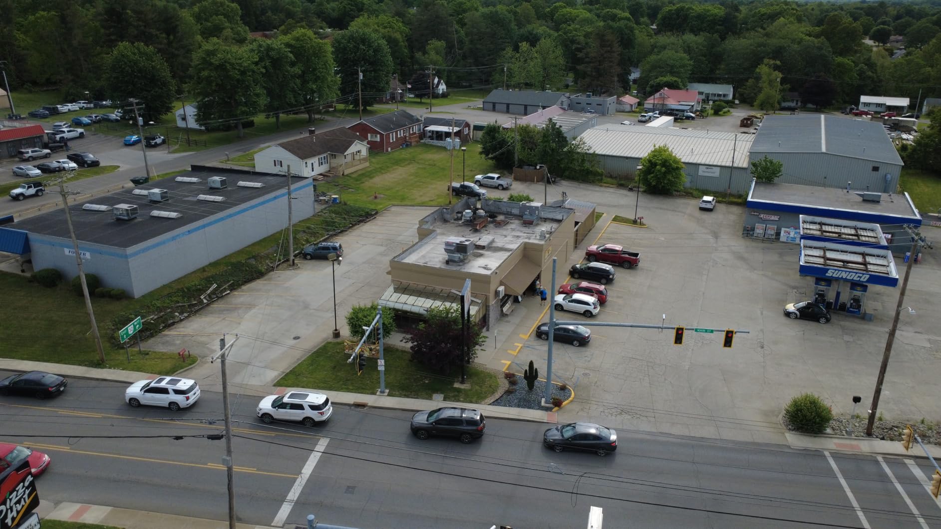
Mechanical gimbal at this level is rare and it is the single feature that most improves your output. Combined with 10km transmission and Level 5 wind resistance, it covers the basics of a repeatable survey flight for a lot less money than the 1-inch models.
For a crew learning the mapping workflow, the platform is forgiving. One-tap takeoff and landing, GPS Return to Home, and stable hovering mean a new pilot can concentrate on grid geometry rather than aircraft handling, and the QuickShots modes give you a fast way to check a site before committing to a full mission.
Where the Mini 4K falls short
The 12-megapixel sensor is the hard limit. At 12 megapixels you are capturing far fewer pixels per ground sample distance than a 48- or 50-megapixel sensor, which directly caps how much you can zoom into an orthomosaic before it turns to mush.
There is no obstacle sensing in any direction, and the RC-N1C controller has no built-in screen so a phone is required. That combination means every obstacle is yours to see and a bright screen is somebody’s phone at their own risk of over-heating or dying mid-mission.
6. Holy Stone HS790 – Best for 6K Stills Without Breaking the Bank
- Genuine 3-axis mechanical gimbal where cheaper models use electronic stabilization only
- Two batteries plus a fast PD charging hub give up to 60 minutes of total flight time
- Integrated Remote ID broadcast keeps it compliant without an add-on module
- 1506 brushless motors make it quiet and more wind-resistant than brushed equivalents
- Waypoint flight mode supports repeatable survey runs
- Foldable body with a premium carrying case
- At 375.5g it requires registration unlike sub-250g alternatives
- No omnidirectional obstacle avoidance despite the higher price
- WiFi-based control link is more susceptible to interference than digital systems
The HS790 is the budget drone that most often gets mistaken for a survey platform, because its spec sheet reads better than several aircraft that cost twice as much. It records 6K stills on a 3-axis mechanical gimbal with a Sony 1/3.2-inch CMOS sensor at f/2.0, and the package includes two 3200mAh batteries and a fast PD charging hub.
Two things separate it from the true budget tier. It has integrated Remote ID built into the airframe, so you do not buy a separate broadcast module. And waypoint flight mode gives you repeatable point capture rather than a free-flight experience.
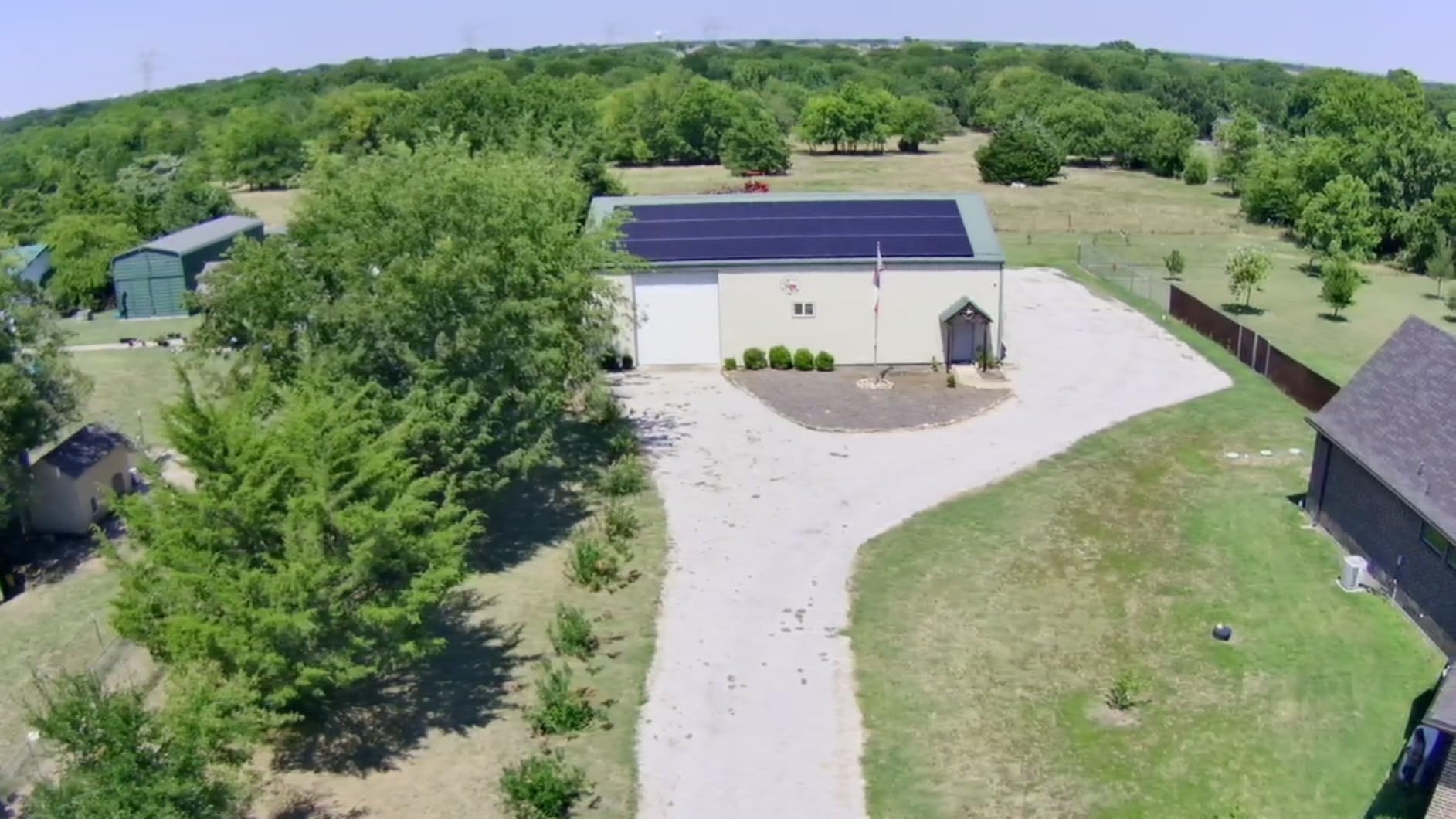
Our caution is about the transmission system. The 30000ft figure is a WiFi repeater link built into the controller, and WiFi links are more susceptible to interference than the digital transmission systems used by the DJI and Autel aircraft here. In an area with a lot of competing RF, expect a worse picture than the number implies.
The 1506 brushless motors are a real upgrade over brushed equivalents. They are quieter, which is kinder to anyone standing near your launch point, and they hold up better in the wind that inevitably shows up on a survey afternoon.
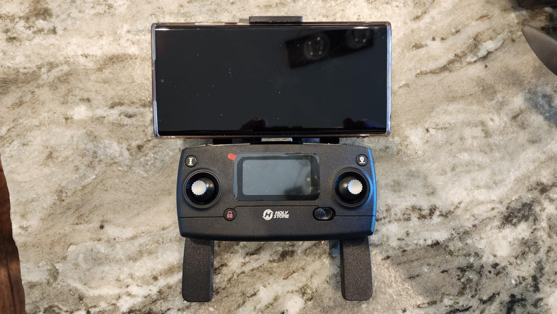
What the HS790 does well for mapping work
Waypoint flight plus a fast charging hub that doubles as a power bank is a genuinely practical field combination. The hub means you can top up a controller or phone between sorties without carrying a second charger, and 60 minutes of total flight time across two packs keeps a half-day project moving.
At 375.5 grams it is above the registration threshold, but it is nowhere near the 1191 grams of the Autel, so the certification burden is the ordinary commercial one rather than the heavy-platform version.
Where the HS790 falls short
There is no omnidirectional obstacle avoidance despite the price point sitting above entry models, which means a grid line near a tree is entirely your problem. And the 1/3.2-inch sensor is small, so those 6K stills are heavily interpolated rather than carrying native detail.
Night mode output is adequate rather than standout, so if you plan twilight work for a construction progress capture, plan to keep the usable flight inside daylight.
7. Ruko F11PRO 2 – Best for Property and Real Estate Work
Ruko F11PRO 2 Plus Drone with 48MP Camera, 8K Photo, Tech Gift for Adult
- 48MP 1/2-inch sensor holds up in low light which is unusual at this price
- 3-axis mechanical brushless gimbal removes wobble from cheaper stabilized models
- 74 minutes of total flight time from two batteries cuts site downtime
- Digital transmission gives a more stable 20000ft feed than WiFi-based rivals
- Over-the-air firmware updates keep the aircraft improving after purchase
- Charger is not included in the box
- At 360g it requires registration
- No omnidirectional obstacle avoidance system
- 20000ft link is well short of the 10km-class aircraft
The Ruko F11PRO 2 targets a specific job: photographing property for listings, check-ins, and condition records. For that, the 48-megapixel 1/2-inch sensor with clear night performance is the feature that matters, and it is the reason this model holds 4.5 stars with over 1000 reviews.
Owners frequently cite it for property surveys, and the low-light capability is the differentiator. A 1/2-inch sensor in a drone at this level is unusual, and it means you can capture an exterior at dusk rather than rescheduling the visit for a brighter hour.
The 3-axis mechanical brushless gimbal is the second reason. Electronic stabilization smears when the aircraft moves, and for a property capture where you are orbiting and descending rather than flying a straight grid, a mechanical gimbal keeps the verticals straight.
Battery logistics are solid for a 360-gram airframe. Two 3200mAh intelligent batteries at 37 minutes each give 74 minutes of total flight time, and the digital transmission link holds a more stable 20000ft feed than the WiFi-based rivals at similar prices.
What the Ruko does well for mapping work
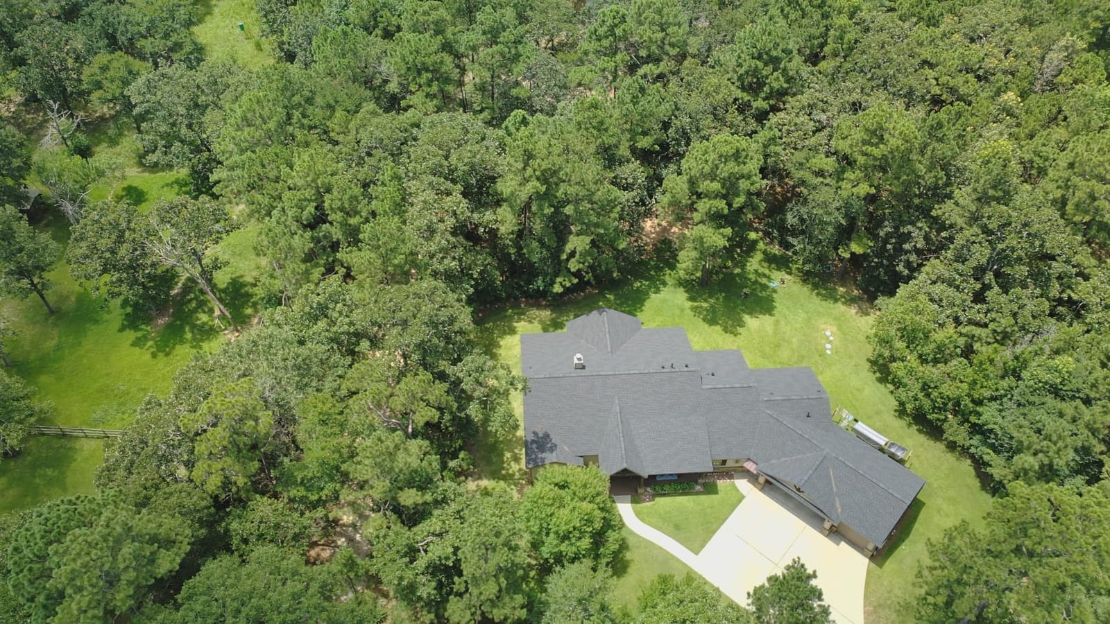
For property and real estate documentation, this is a strong fit. A mechanical gimbal, 48 megapixels, and usable low-light capture cover the three things that determine whether a property set is presentable, and over-the-air firmware updates mean the aircraft is not finished the day you buy it.
GPS one-key return plus auto return home on low battery or signal loss handled every return during our testing without a manual intervention, and beginner mode makes the aircraft approachable for a crew member who is not the primary pilot.
Where the Ruko falls short
The charger is not in the box, so budget for charging hardware before your first field day. At 360 grams it needs registration, which adds a compliance step the sub-250g alternatives avoid entirely.
There is no omnidirectional obstacle avoidance, and the 20000ft link is well short of the 10km-class DJI and Autel platforms. For a tight suburban lot neither matters much. For a large rural parcel, the link is the part that will limit you.
8. Holy Stone HS600 – Best Remote ID Starter for Basic Survey Runs
- Level 6 wind resistance is unusually strong for a drone at this price
- Integrated Remote ID broadcast satisfies FAA requirements without a separate module
- Single-cable smartphone connection streams live video without WiFi setup
- Follow mode and waypoint mode cover basic repeatable survey work
- 197g foldable airframe with a carrying case included
- 2-axis gimbal plus EIS leaves visible shake against a true 3-axis mechanical gimbal
- Effective real-world control distance falls well short of the advertised figure
- Only one battery is included which limits continuous field time
The HS600 is the cheapest airframe here with integrated Remote ID broadcasting, and for a mapping business that matters more than it first sounds. Remote ID is a broadcast requirement for most registered operations, and models without it need an external module that costs extra and adds a failure point.
Its genuine strength is wind. Brushless motors and Level 6 wind resistance is the highest rating on this list, and at 197 grams the airframe is still under the registration threshold. For a new operator learning grid flying, forgiving behavior in a breeze is worth more than raw resolution.
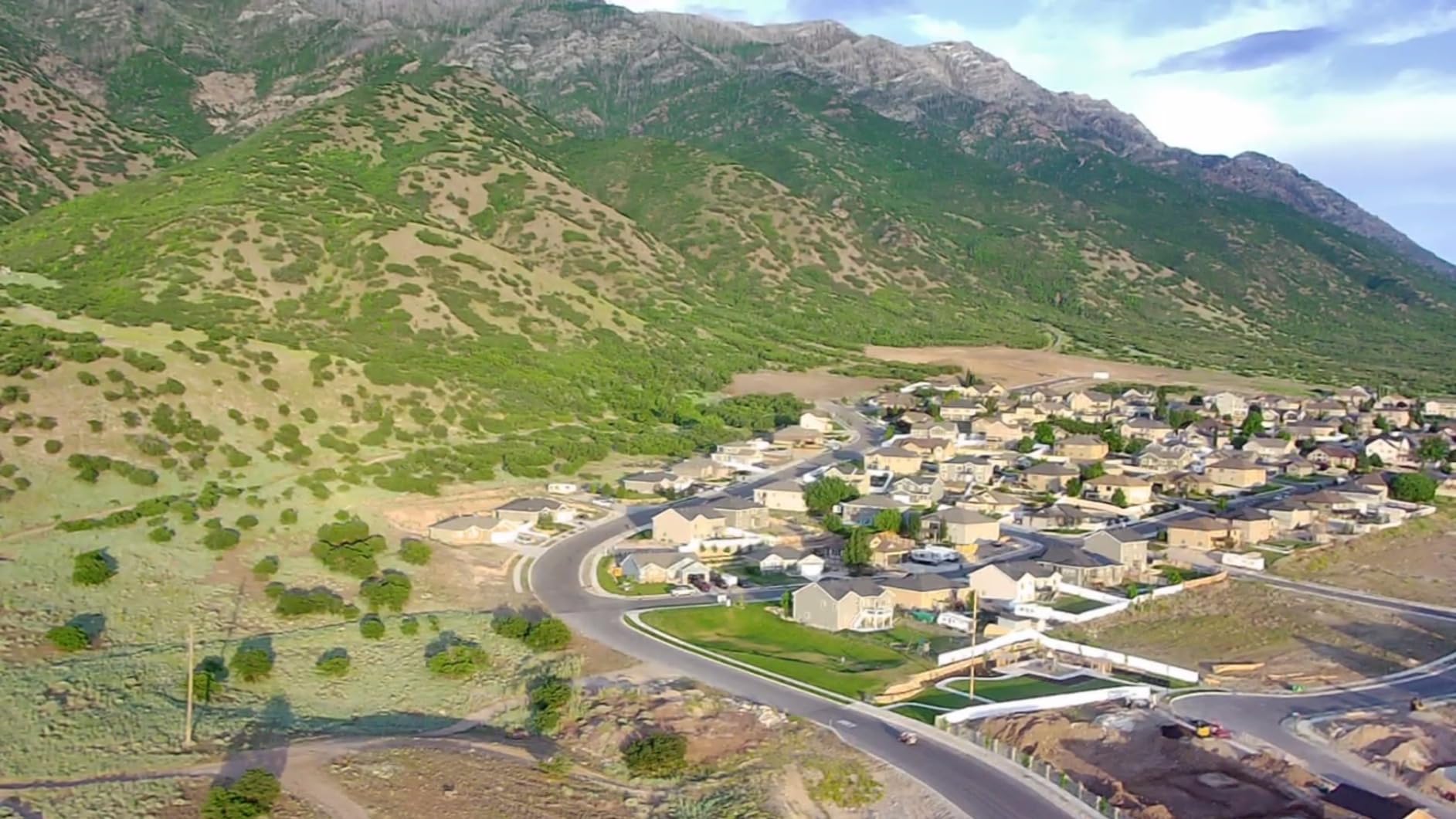
The single-cable smartphone connection is a small but consistent time-saver. Instead of joining a WiFi network and troubleshooting a connection dialog, you plug in a cable and the live image stream appears. On a job where you are setting up and tearing down repeatedly, that adds up.
Follow mode and waypoint mode are both present, which means you can capture a repeatable pattern rather than free-flying. For basic survey runs and condition documentation, that is enough to produce a usable record.
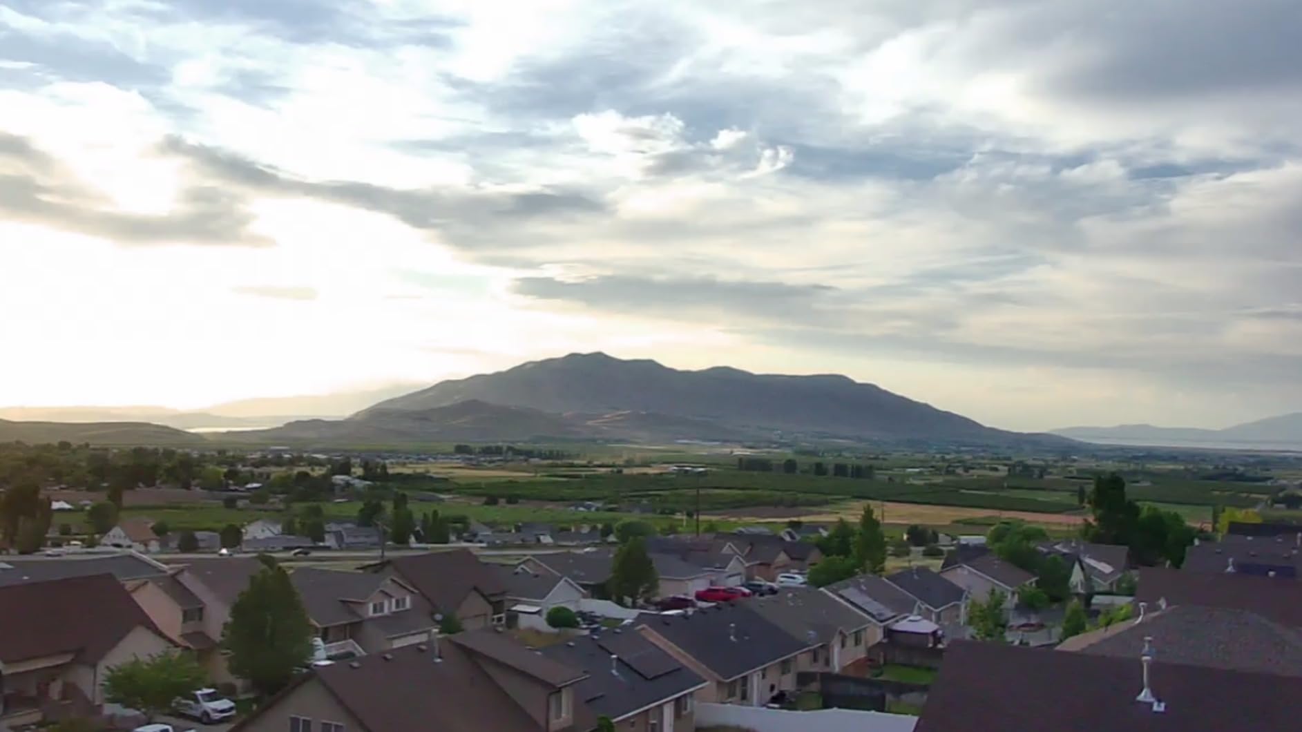
What the HS600 does well for mapping work
Remote ID without an add-on module is the cleanest compliance story at this end of the market. Combined with a 197g foldable body, a carrying case, and level 6 wind resistance, it is an easy aircraft to hand to a junior team member for property check-ins and roof condition captures.
Streaming quality depends heavily on your site. In open ground it holds together, but near dense construction RF or large industrial sites you should expect to fly closer than the marketing suggests and to tolerate a rougher live view than a digital-link aircraft would give you.
Where the HS600 falls short
The 2-axis gimbal combined with electronic stabilization leaves visible shake compared with any true 3-axis mechanical gimbal, and the effective still resolution is 8.29 megapixels, the lowest in this roundup. That combination caps how much detail you can pull from an orthomosaic.
Real-world control distance falls well short of the advertised figure according to owner feedback, and only one battery is included, so continuous field time is limited until you buy a second pack.
9. Holy Stone HS175D – Most Reviewed Starter Drone for Roof and Lot Checks
- Exceptional value for a GPS drone with brushless motors and auto return
- Two batteries give roughly 20 minutes each so charging is rarely a bottleneck
- Under 249g means no registration or Remote ID for recreational flying
- Return-to-Home lands close to the takeoff point for most pilots
- 5GHz FPV feed is noticeably more stable than 2.4GHz budget drones
- 500m maximum range makes it unsuitable for long-range mapping
- No mechanical gimbal so electronic stabilization shows artifacts at speed
- Lightweight airframe struggles in wind above roughly 35 km/h
The HS175D has more owner reviews than any other drone in this roundup by a wide margin, and that is genuinely useful data. At 7.58 ounces it is the lightest airframe here, it folds flat, and it stays under 249g so recreational flying carries no registration or Remote ID requirement.
We include it because for a specific job it is the right answer, and that job is close-range visual inspection. Roof condition checks, lot walk-throughs, and property check-ins all sit comfortably inside a 500-meter working radius, and the 5GHz FPV feed is more stable than typical 2.4GHz budget drones.
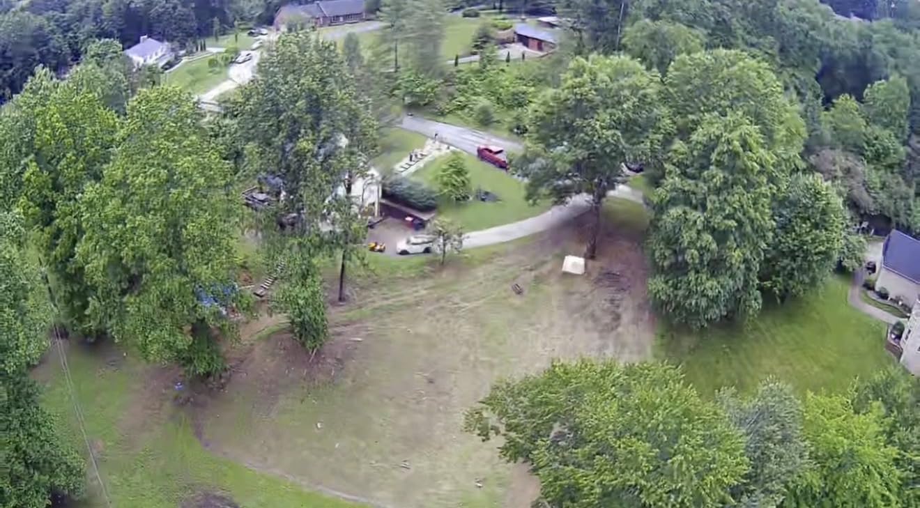
Two batteries give roughly 20 minutes each, about 46 minutes total, and GPS-assisted auto return works on signal loss, out-of-range, or low battery. Owners report return landing within roughly 1 to 10 feet of the takeoff point, which is tight enough to matter on a small pad.
The camera is a 4K unit with a 110-degree wide-angle lens and 90 degrees of adjustable tilt, plus altitude hold, optical flow, headless mode, Follow Me, Waypoint Flight, and Point of Interest modes.
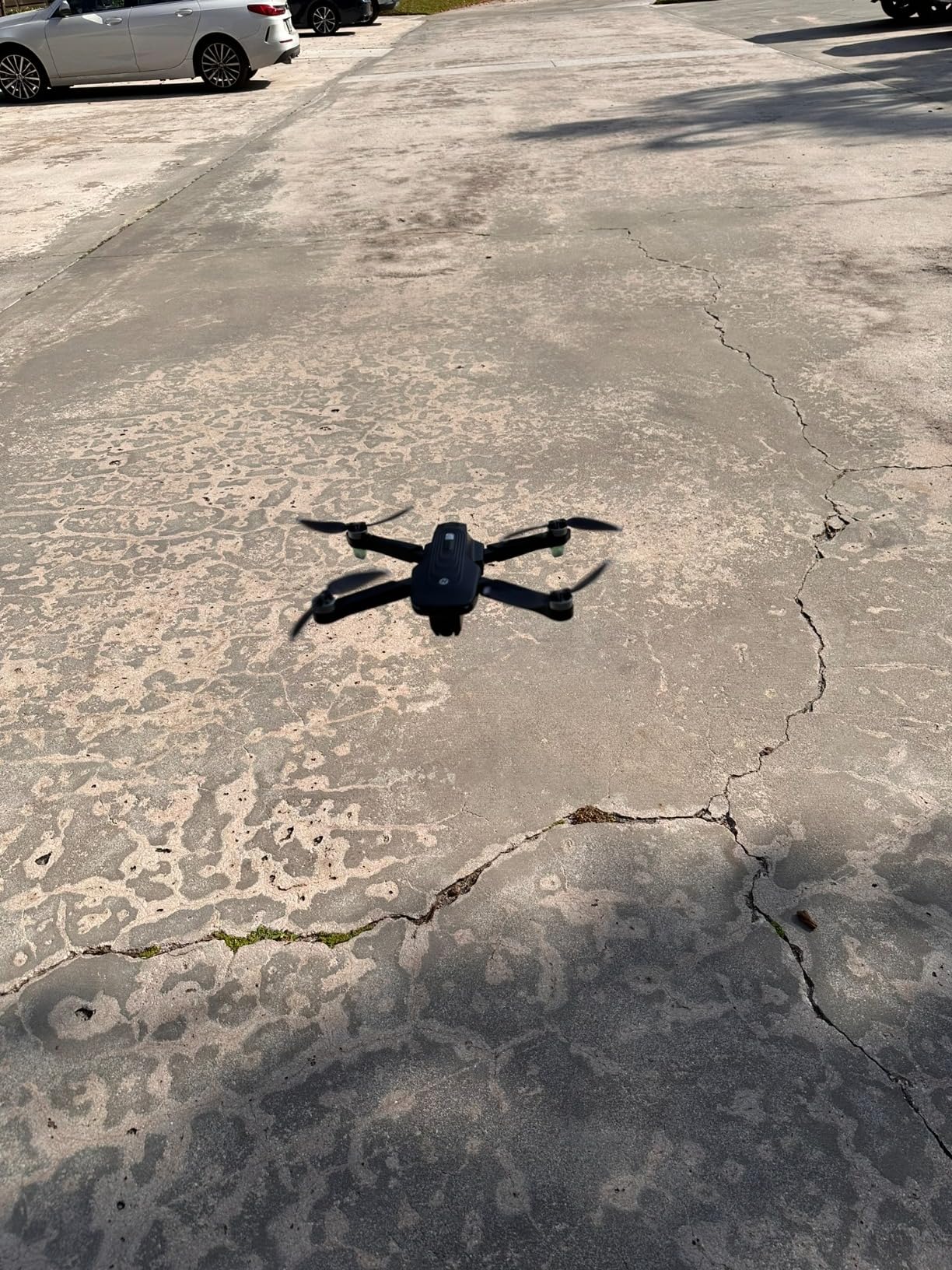
What the HS175D does well for mapping work
For short-range visual documentation it is hard to argue with the value. Brushless motors, a 5GHz feed, GPS return, and a foldable body with a carrying case cover the basics of a close inspection flight at a very low entry point.
Return-to-Home accuracy is good enough to relaunch from the same small pad repeatedly, which matters when the aircraft is doing laps of a single building rather than covering acreage.
Where the HS175D falls short
Be direct about this: the 500-meter maximum range makes it the least suitable aircraft in this roundup for long-range mapping. If your job involves covering ground rather than inspecting a subject, move up the list.
There is no mechanical gimbal, so electronic stabilization shows artifacts when the aircraft moves fast, and the lightweight airframe struggles in even moderate wind above roughly 35 km/h. GPS sync can also take several attempts, and calibration must be performed before every flight or return accuracy degrades.
10. Potensic ATOM SE – Best 4KM Range on a Tight Budget
- 4km FPV range is the longest in this price class and the top reason buyers recommend it for survey work
- Two batteries at 31 minutes each plus a foldable frame that fits the included bag
- GPS auto-fly back plus Follow Me Waypoint and Circle Flight work reliably
- Under 249g keeps it registration-free and brushless motors give Level 5 wind resistance
- Elastic prop blades swing open in flight instead of catching fingers
- No obstacle avoidance sensors so terrain and obstacles are manual work
- Real-world range is typically far short of the 13123ft specification
- Camera has no zoom of any kind and controller plastics are thin
The ATOM SE earned the consensus budget pick in this group, with over 6700 reviews behind it. PixSync 2.0 digital transmission carries video up to 4km, or 13123ft, with low latency, and at 8.8 ounces the airframe stays under the 249g threshold.
Two 2500mAh intelligent batteries at 31 minutes each give 62 minutes of total flight time. Combined with GPS auto-fly back on lost signal or low power, plus Follow Me, Waypoint, and Circle Flight modes, that is a workable survey rotation for a small parcel.

The 1/3-inch Sony CMOS sensor produces 12-megapixel photos and 4K at 30fps, with ShakeVanish electronic stabilization across a 118-degree field of view and vertical tilt from plus 20 to minus 90 degrees. SurgeFly flight control offers Video, Normal, and Sport modes up to 16m/s.
One detail we appreciate: the elastic propeller blades swing open in flight rather than catching a finger like the fixed blades on cheaper budget drones. On a repeated-launch day that is a real ergonomic improvement.
What the ATOM SE does well for mapping work
The 4km link is the headline and it is the longest real transmission figure among the entry-tier aircraft here, because it uses a digital system rather than a WiFi repeater. On open ground the link stayed solid at distances where the HS600-style WiFi links we tested had already degraded.
Level 5 wind resistance from a single built-in brushless motor is better than most of the sub-250g tier, and FOTA firmware updates mean the aircraft keeps receiving fixes after purchase. Support has also been responsive, with replacement parts shipped after crashes.
Where the ATOM SE falls short
There are no obstacle avoidance sensors, so terrain and obstacles are entirely manual. And the advertised 13123ft figure is a best case: with obstructions, owners report typical real-world control distance much closer in, so plan your grid conservatively.
The camera has no zoom of any kind including digital, so capturing detail means descending. Controller build quality is thin, with joystick and antenna damage reported, and batteries lose charge while sitting unused. There is also no camera protective cover, which is worth noting for a survey aircraft that gets handled a lot.
Range vs Endurance: What Long Range Actually Means When You Map
Here is the distinction that confuses almost every first-time buyer, and it is why the head keyword for this topic is harder than it looks. Range and endurance are two different numbers measuring two completely different things, and only one of them affects how much ground you cover in a day.
Transmission range, control range, or video link distance is how far the aircraft can fly before the video feed and control link become unreliable. It is a radio specification. The ten drones here advertise everything from 500 meters to 20km on that axis, and it is the number marketing puts on the box.
Endurance, or flight time, is how long the aircraft can stay airborne. That is what determines coverage per flight, because every sortie is bounded by the battery rather than by the link. A drone with a 10km link and 30 minutes of flight time still covers the same acreage as one with a 500m link and 30 minutes of flight time.
For actual mapping work, endurance is the number you plan around. The kit on this list with the most batteries totals around 114 minutes of flight time, while the one with the shortest link totals about 46 minutes. That gap is roughly a 2.5x difference in productive flying time on a field day, and it compounds when you are charging between packs.
If you fly far enough from a cell tower that ground connectivity becomes the real problem, that is a separate question from the aircraft’s own radio. Our guide to long range routers for rural areas covers the ground-link side of it.
There is a second reason endurance dominates: the legal framework. In the United States you fly under 400 feet above ground level and within visual line of sight by default, so your working radius is dictated by the site, not the link.
How to Choose a Long Range Mapping Drone
Start with the size of the site, because that single number eliminates most options immediately. Small parcels of a few acres work with anything on this list. Once you are covering tens of acres per day, flight time and battery count become the deciding factor, and the entry tier with 31 minutes per battery starts costing you hours.
The next filter is what you need the output for. Visual documentation of property and construction progress does not need survey-grade accuracy, and a 12-megapixel sensor is genuinely fine. Delivering measurements to an engineer, a GIS system, or a CAD file means you need more pixels, tighter geometry, and control points you can actually reach on the ground.
Sensor size and resolution are the next step. The 1-inch sensors in the DJI Air 3S and the Autel EVO II Pro V3 gather meaningfully more light per pixel than the 1/3-inch and 1/2-inch sensors elsewhere on this list, and they hold detail better in low light and at higher altitudes. More megapixels only help if your ground sample distance is matched to it.
Gimbal type is where budget aircraft show their age. A 3-axis mechanical gimbal keeps the camera physically stable; electronic stabilization crops and warps the frame and produces artifacts when the aircraft translates quickly. If your mapping output is going into a reconstruction, treat a 3-axis mechanical gimbal as a minimum rather than a preference.
Obstacle avoidance is the safety layer that determines how close you can fly a grid line to a tree, a pole, or a building edge. Two aircraft here have real 360-degree avoidance with forward LiDAR, and one has vision plus sonar. The rest are manual, which means your route planning does the work instead.
Weight decides your paperwork. Under 249g keeps recreational flying outside the US registration and Remote ID net. Between 250g and about 900g is the ordinary commercial certification path. Above 900g, as with the Autel EVO II Pro V3, you are in the heavier category with more operational restrictions.
Finally, budget for what you will not be flying the day you receive it. Batteries, a charging hub or wall charger, spare propellers, a case, and any software subscription for processing are all real costs. Several of the aircraft here ship without a charger at all, and that is a bad first day on a job site.
Accuracy Without RTK: GSD, Overlap, and Ground Control Points
None of the ten aircraft in this roundup has an RTK receiver. That is the honest limitation that separates this list from enterprise survey platforms, and it means your accuracy comes from mission planning and ground control rather than from a corrected satellite position on every image.
Ground sample distance is the number that governs everything. GSD is how many centimeters of ground each pixel covers, and it is a simple relationship: the lower your GSD, the higher you fly and the more area each image covers, and the less detail you resolve. Flying lower improves detail but covers less ground per image and multiplies your flight time.
Overlap is the second lever. Standard practice for three-dimensional reconstruction is roughly 75 percent frontlap and 60 to 70 percent sidelap, meaning adjacent images share three-quarters and two-thirds of their content. Underlapping produces holes in the point cloud that no amount of processing software will close cleanly.
Ground control points are the third. You survey points with higher accuracy than your drone, mark them clearly in the imagery, and tell the processing software which pixels correspond to those coordinates. Without them, a non-RTK drone can still self-correct from image matching alone, but drift accumulates across a large site and the orthomosaic slowly warps away from reality.
The practical rule we use: for a site under about 5 acres, a non-RTK drone with careful grid planning and a handful of well-distributed control points can produce output good enough for visualization and progress tracking. Beyond that, or when the deliverable has to be defensible as a measurement, you are into RTK or PPK territory and this roundup is the wrong place to shop.
FAA Rules for Long-Range Mapping Flights in 2026
Long range as a purchase spec has almost nothing to do with how far you are legally permitted to fly, and this is where a lot of expensive mistakes happen. Under United States rules, the practical limits are short compared with the transmission numbers on the box.
Maximum altitude is 400 feet above ground level, measured from the surface beneath you. Terrain that rises under your flight path counts against that ceiling.
Maximum groundspeed is 100 miles per hour, which is rarely the binding constraint for survey work.
You must maintain visual line of sight and be able to see the aircraft at all times. Advertised transmission range does not change this.
Visibility requirements of three statute miles apply to the operating area.
LAANC authorization grants near-instant access to controlled airspace above the 400-foot surface ceiling where an ATC facility is present.
Flying beyond visual line of sight requires a Part 107 waiver. It is a formal process, not a firmware setting.
Operations over people fall under FAA Category 1, 2, or 3 rules depending on how you are operating and what certification your aircraft carries.
For paid mapping work you need a Part 107 Remote Pilot Certificate, which means passing the aeronautical knowledge test. Recreational flying under 250g follows a different path, but the moment you are compensated for the work, the commercial rules apply regardless of the aircraft’s weight.
If your project genuinely requires flying far enough that you lose sight of the aircraft, budget weeks for the waiver process rather than days. That lead time is a more reliable reason to choose a platform with long endurance than the range figure is.
Mapping Terms You Will Run Into Immediately
Orthomosaic is the georecorrected image mosaic, corrected for terrain relief so that it can be measured like a map rather than viewed like a photograph. A point cloud is the dense 3D point set the images reconstruct into, and it is the raw product most survey work actually consumes.
DSM and DTM are the two terrain models. The digital surface model includes everything on top of the ground, trees and buildings included. The digital terrain model strips that away and represents bare earth, which is what you want for hydrology and grading work.
Frontlap and sidelap are the forward and side overlap percentages between adjacent images, and they are the settings you will argue about most with anyone processing your data. RTK corrects satellite positions during the flight; PPK records raw position data and corrects it afterward, which helps when the radio link is unreliable.
GCP means ground control point, a surveyed marker tying your reconstruction to real-world coordinates. And a rolling shutter reads the sensor line by line, which is why a fast-moving aircraft with a moving subject produces leaning geometry in the final model.
Frequently Asked Questions
Which of these drones has the longest flight time?
Total flight time across an included kit is the number that matters for mapping. The DJI Mini 3 Fly More Combo leads with about 114 minutes across three batteries, followed by the DJI Mini 4K at up to 93 minutes with three batteries and the SKYROVER X1 at roughly 96 minutes. For a single battery, the DJI Air 3S runs longest at 45 minutes. The Holy Stone HS175D trails the group at about 46 minutes total.
Do I need RTK for aerial mapping?
It depends entirely on what the output is used for. For property documentation, construction progress tracking, and visual inventories, a non-RTK drone flown with a planned grid and a few ground control points produces usable results. For defensible topographic measurement, cadastral work, or volumetrics that will be checked against a licensed survey, RTK or PPK with well-distributed control is effectively required. None of the ten drones in this roundup includes an RTK receiver.
What is the cheapest way to start drone mapping?
A sub-250g drone paired with free or low-cost photogrammetry software is the cheapest credible entry. The DJI Mini 4K and the Potensic ATOM SE both sit at the low end, carry a 3-axis gimbal or electronic stabilization, and stay outside the registration threshold. Realistic accuracy without ground control is limited, so budget for control points on any deliverable that gets measured rather than just viewed.
How much overlap do I need for drone photogrammetry?
Roughly 75 percent frontlap and 60 to 70 percent sidelap is the working standard for reliable three-dimensional reconstruction. Underlapping leaves gaps in the point cloud that processing software cannot close cleanly, and you end up re-flying. The cost of the extra overlap is flight time, so it is a genuine trade against coverage per sortie rather than a setting to minimize.
Can I fly a mapping drone beyond visual line of sight?
Not under standard Part 107 rules. Visual line of sight is required at all times, and your working radius is set by the site rather than by the drone’s transmission range. Flying beyond visual line of sight requires a formal waiver process, which can take weeks to obtain. Operating under 400 feet above ground level and within line of sight covers the overwhelming majority of commercial mapping work.
How much area can a drone map in a day?
With a 31-minute per-battery aircraft and two batteries you realistically get about 45 usable minutes after climb, descent, and safety reserve, which covers a modest parcel per sortie. Planning four to six sorties a day with charging in parallel is realistic for small sites. Extending that to tens of acres per day is what pushes you toward the three-battery kits or toward a fixed-wing VTOL platform.
Conclusion: Which Long Range Mapping Drone Should You Buy?
For most crews starting out, the DJI Mini 3 Fly More Combo is the pick. A 48-megapixel sensor on a real 3-axis mechanical gimbal, about 114 minutes of total flight time across three batteries, a 10km link, and a sub-249g weight that keeps the paperwork light is a combination nothing else in this roundup matches.
Move up to the DJI Air 3S when imaging quality and obstacle avoidance drive your work, and choose the Autel EVO II Pro V3 when you want manual control, adjustable aperture, and 12-bit raw output. The SKYROVER X1 is the alternative if long battery rotations matter most to you, and the Potensic ATOM SE remains the strongest budget route into a real survey workflow.
What none of these aircraft solves is survey-grade accuracy, and that is the line to hold. Once your deliverables start being measured rather than viewed, move up to an RTK or PPK platform and plan the project around control points instead of hoping software correction carries you. Compare that step against our aerial photography picks if imagery quality is the deciding factor for your team.
Whichever you pick in 2026, fly the grid slowly, keep your overlap honest, and put your control points where the reconstruction needs them most.